Search by Name in Montenegro (+382)
 short ... PBof.com/montenegro
short ... PBof.com/montenegroshort ... PBof.com/montenegro|
|
| 1) Travel Pages |
|---|
| 2) Yellow Pages |
|---|
| 3) White Pages |
|---|

International Calls
international prefix 00 (ex99)
example:
calling from Serbia
to France
![]()
00 33 I 422I IIII
II rue des IIaIIes
PARIS Ier
serbia's phonesystem
is regulated by Ministarstvo saobracaja telekomunikacija
calling to Montenegro
from USA 0II 382
from
Europe/most Countries 00 382
(country code 38I
replaced 38 in
Oct I993)
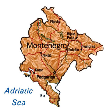
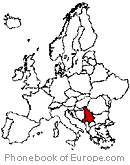
Montenegro
![]()
Sine June 3 2006
independant from Serbia.
1992
Federal Republic of Yugoslavia
1945 Socialist Republic
1929 Yugoslavia
1878 independant souvereign principality
capital:Podgorica
head of State and
head of Government:
President
national holiday:
Independance Day 27 April
economy
geography
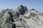
Bobotov Kuk 2,522 m
some local phone codes:
Phone Book
of Europe.com