|
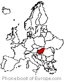
Area : 274.46 km2 (105.97 sq mi) City population 117,852 (2011) people Density: 425.92/km2 (1,103.1/sq mi) Country: Hungary (+36) - Telecom Zone: Europe (+3 or +4) Elevation: 116 m (381 ft) Postal Code: 4400 Area Code +36 42 NYÍREGYHÁZA WEATHER |
|
|
| 1) City Pages |
Search by Utilities
 City of Nyiregyhaza
Tourist Office Public Transport Airport
Search by Hotel
|
|---|
| 2) Yellow Pages |
Search by Activity
Yellow Pages.hu via PBof.com Kozuleti.com via PBof.com more Yellow Pages Golden Pages |
|---|
| 3) White Pages |
Search by Name
Telefon Konyv.hu via PBof.com Linkedin via PBof.com FB.com via PBof.com more White Pages
|
|---|
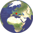 |
GPS Coordinates Nyiregyhaza: Latitude: 47° 57' 11.02? n Longitude: 21° 43' 37.67? e Decimal: 47.95306°, 21.72713° |
|

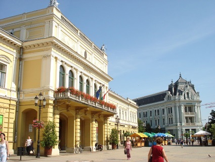 |
Nyiregyhaza is the 7th largest city of Hungary. The city is a city in northeastern Hungary and the county capital of Szabolcs-Szatmar-Bereg. Nyiregyhaza is located in Szabolcs-Szatmar-Bereg County in the northern Plain region. It is the most important city of Northern Hungary. It is located in the center of Nyirseg as an agricultural town. The first written mentions of Nyiregyhaza date back to 1209, although it was then called simply Nyir. A source from 1326 mentions that by then the city already had a church, hence the second part of the name, egyhaz (meaning 'church'). In the middle of the 15th century the town had about 400 inhabitants. In the 16th century, during the Turkish occupation of Hungary, Nyiregyhaza became deserted. Nyiregyhaza was resettled only in the 1630s - 1640s. |
|
Phone Book of Nyiregyhaza: City Directory Yellow Pages and White Pages Pages Jaunes et Pages Blanches Nyiregyhaza Paginas Amarillas y Paginas Blancas Nyiregyhaza Gelbe Seiten und Telefonbuch Nyiregyhaza Pagine Gialle e Pagine Bianche Nyiregyhaza |
|