|
Area : 97.52 km2 (37.65 sq mi) City population 79,590 (2011) people Density: 821.92/km2 (2,128.8/sq mi) Country: Hungary (+36) - Telecom Zone: Europe (+3 or +4) Elevation: 209 m (686 ft) Post Code : 9700 Area Code +36 94 SZOMBATHELY WEATHER |
|
|
| 1) City Pages |
Search by Utilities
 City of Szombathely
Tourist Office Public Transport Airport
Search by Hotel
|
|---|
| 2) Yellow Pages |
Search by Activity
Yellow Pages.hu via PBof.com Kozuleti.com via PBof.com more Yellow Pages Golden Pages |
|---|
| 3) White Pages |
Search by Name
Telefon Konyv.hu via PBof.com Linkedin via PBof.com FB.com via PBof.com more White Pages
|
|---|
GPS Coordinates Szombathely: Latitude: 47° 14' 6.43" N Longitude: 16° 37' 18.88" E Decimal: 47.23512°, 16.62191° |
||
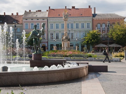
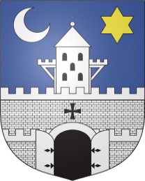
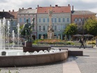
Szombathely is the 10th largest city of Hungary. It is the administrative centre of Vas county in the west of the country, located near the border with Austria. Szombathely lies by the streams Perint and Gyongyos where the Alpokalja (Lower Alps) mountains meet the Little Hungarian Plain. The name Szombathely is from Hungarian szombat, "Saturday" and hely, "place", referring to its status as a market town and the medieval markets held on Saturday every week. Szombathely is the oldest recorded city in Hungary. It was founded by the Romans in 45 AD under the name of Colonia Claudia Savariensum (Claudius' Colony of Savarians), and it was the capital of the Pannonia Superior province of the Roman Empire. |
Phone Book of Szombathely: City Directory Yellow Pages and White Pages Pages Jaunes et Pages Blanches Szombathely Paginas Amarillas y Paginas Blancas Szombathely Gelbe Seiten und Telefonbuch Szombathely Pagine Gialle e Pagine Bianche Szombathely |

