local websites, if they exist end with
.cd or
.com
2,345,410
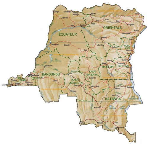
km² (905,568 sq mls) - 43,901,000 people
Land boundaries: 10,744 km Angola
2,511 km, Burundi
233 km, Central
African Republic
1,577 km,
Republic of the Congo
2,410 km, Rwanda
217 km, Sudan
628 km, Tanzania
473 km, Uganda
765 km, Zambia
1,930 km
Country Code +243
local
calls
national long distance
national prefix: no prefix
area code: --
number: -----
(always 7 digits)
example:
international calls
international prefix: 0
country code:
area code:
number:
exampe
calling from Zaire
to France
0 33 I 422I IIII
II rue des IIaIIes
PARIS Ier
usefull
numbers
operator
Information
Fire
Police
calling from abroad
to Congo
+243 -- ----- (7 digits)
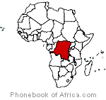
Republique
Demoratique du Congo
exZaire
independant since june 30 1960
independant from Belgium
(became in 1885
Terittory of the King of Belgium and in 1885 Belgium Colony)
Capital: Kinsasha
political
Chief of State
and Head of Government
Government
languages: French
Chiluba, Kikongo, Lingala,
Suaheli, Luvena, Chokwe,
Gbaya, Kituba
 short ... PBof.com/zaire