|
+381 34 KRAGUJEVAC WEATHER |
|
|
| 1) City Pages |
Search by Utilities
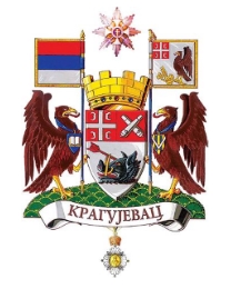
 City of Kragujevac
Tourist Office Public Transport Airport
Search by Hotel
|
|---|
| 2) Yellow Pages |
|---|
| 3) White Pages |
Search by Name
Whitepages.rs Linkedin via PBof.com FB.com via PBof.com more White Pages Bele Strane
|
|---|
 |
GPS
Kragujevac Lat: 44° 0' 40" N Long: 20° 54' 40" E Dec: 44.011111 20.911111 |
|

|
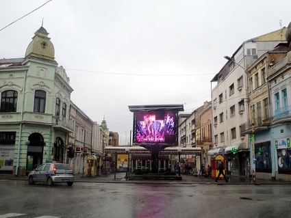
It is the fourth largest city in Serbia, the administrative centre of Sumadija District. The name of the town derived from the archaic Serbian word "kraguj", which is a name used for a particular species of hawk, thus the name means "hawk's nesting place". Before the arrival of the Slavs, the territory of present city was inhabited by the Illyrians and Romans. This territory was captured from Byzantium by Stefan Nemanja, who consolidated the Serbian state in the twelfth century. Kragujevac has developed transportation infrastructure. |
|
Phone Book of Kragujevac: City Directory Yellow Pages and White Pages Pages Jaunes et Pages Blanches Kragujevac Paginas Amarillas y Paginas Blancas Kragujevac Gelben Seiten und Telefonbuch Kragujevac Pagine Gialle e Pagine Bianche Kragujevac |
|
|||